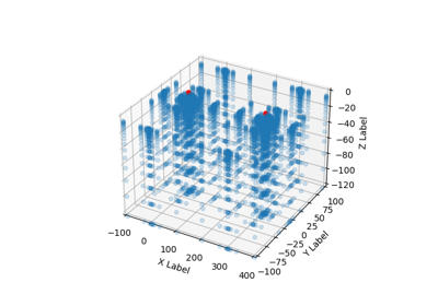
gempy.core.data.Grid
- class gempy.core.data.Grid(extent=None, resolution=None)[source]
Examples using
gempy.core.data.Grid
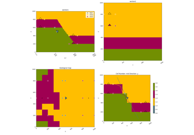
Video Tutorial “code-along”: Modeling step by step
Video Tutorial "code-along": Modeling step by step
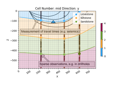
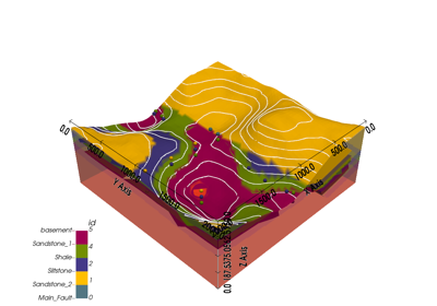
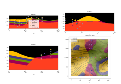
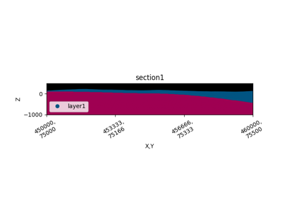
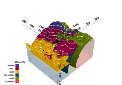
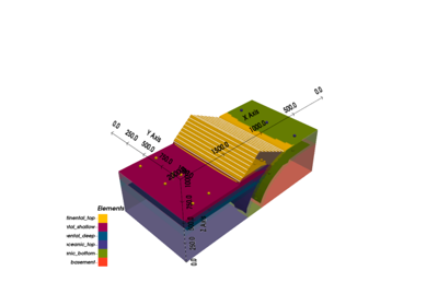
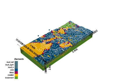
Unknown Model: Importing Borehole Data and Building a 3D Geological Model with GemPy
Unknown Model: Importing Borehole Data and Building a 3D Geological Model with GemPyMethods
__init__([extent, resolution])deserialize_properties(data, constructor)get_section_args(section_name)init_dense_grid(extent, resolution)init_octree_grid(extent, octree_levels[, ...])set_octree_grid(regular_grid)set_octree_grid_by_levels(octree_levels, ...)Attributes
active_gridsbinary_meta_databounding_boxcentered_gridcorner_maxcorner_mincustom_griddense_gridextentgrid_binaryoctree_gridoctree_levelsregular_gridsectionstopographytransformvalueslength